| Nursling Church to Moorcourt |
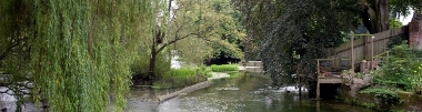
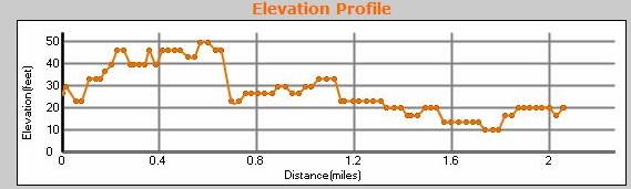
Distance 2.1 miles, a straight walk, which starts at Nursling Church. It is, to all intents and purposes, completely flat, and about half is on a tarmac road, but one which has very little traffic. Ends at Moorcourt Farm, where there is easy parking in a layby just off the road. Parking is also easy at Nursling Church. We did this with two cars, and almost at a jog as we started late and Susan had an appointment. Park on the red circle below, and either load the GPX file into your GPS, or follow the TW signs. You can scroll the map below simply by moving the mouse with the left-button held down.
|
|
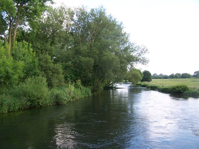
© Copyright David Martin and licensed for reuse under this Creative Commons Licence
See other pictures of this area here.
To download GPX Files, right-click the link, choose Save Link As ..., and save it to wherever you keep route files.
See the documentation that came with your GPS for information on how to download the route to your GPS.
These are a selection of Ordnance Survey Maps that cover this walk.
Geocaches on route
No Geocaches on this section
Not even any caches nearby!